Travel Guide of Jindabyne NSW in Australia by Influencers and Travelers
Jindabyne is a town in south-east New South Wales, Australia that overlooks Lake Jindabyne near the Snowy Mountains, in Snowy Monaro Regional Council. It is a popular holiday destination year round, especially in winter.
Download the Travel Map of Australia on Google Maps here
The Best Things to Do and Visit in Jindabyne NSW
TRAVELERS TOP 6 :
- Perisher Valley NSW
- Mount Perisher
- Snowy Mountains
- Australian+Alps+Walking+Track
- Kosciuszko National Park
- Mount Kosciuszko
1 - Perisher Valley NSW
19 km away
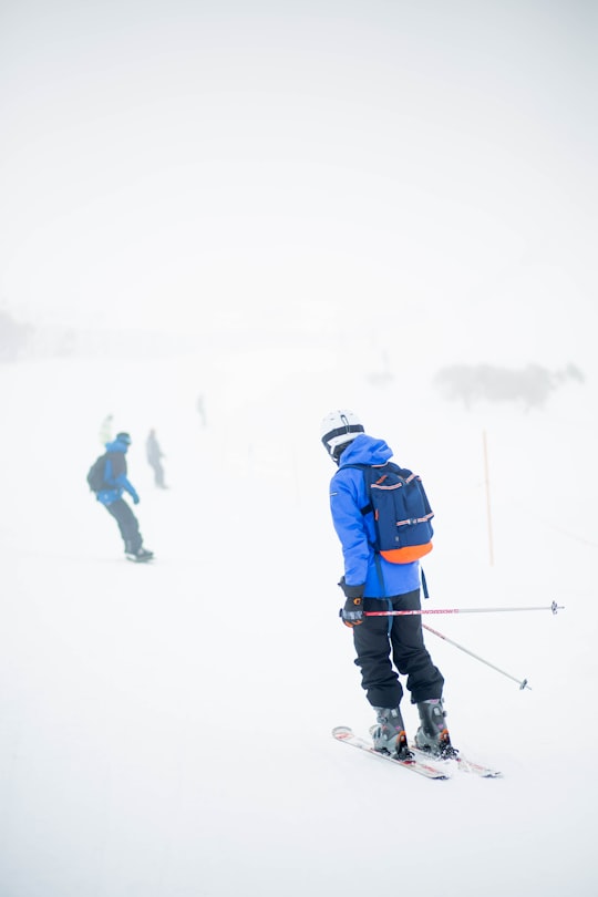
Perisher Valley, commonly called Perisher, is a valley formed below Mount Perisher, a mountain that is located in the Snowy Mountains of New South Wales, Australia.
Learn more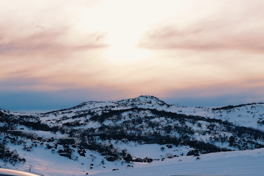
2 - Mount Perisher
21 km away
Learn more
3 - Snowy Mountains
28 km away
The Snowy Mountains, known informally as "The Snowies", is an IBRA subregion and the highest mountain range on the continent of mainland Australia.
Learn more Book this experience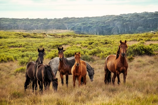
4 - Australian+Alps+Walking+Track
30 km away
The Australian Alps Walking Track is a long-distance walking trail through the alpine areas of Victoria, New South Wales and ACT. It is 655 km long, starting at Walhalla, Victoria and running through to Tharwa, ACT near Canberra.
View on Google Maps Book this experience
5 - Kosciuszko National Park
30 km away
The Kosciuszko National Park is a 6,900-square-kilometre national park and contains mainland Australia's highest peak, Mount Kosciuszko, for which it is named, and Cabramurra, the highest town in Australia.
Learn more Book this experience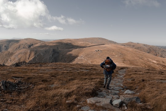
6 - Mount Kosciuszko
33 km away
Mount Kosciuszko, previously spelled Mount Kosciusko is mainland Australia's highest mountain, at 2,228 metres above sea level.
Learn more Book this experience
Disover the best Instagram Spots around Jindabyne NSW here
Book Tours and Activities in Jindabyne NSW
Discover the best tours and activities around Jindabyne NSW, Australia and book your travel experience today with our booking partners
Pictures and Stories of Jindabyne NSW from Influencers
3 pictures of Jindabyne NSW from Tarryn Myburgh, , and other travelers
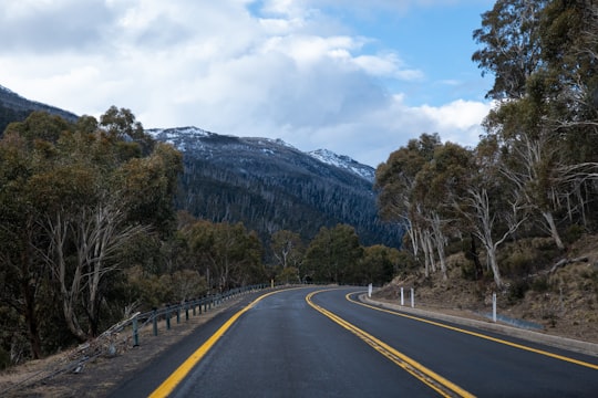
- Road to Thredbo ready to see snow ...click to read more
- Experienced by @Tarryn Myburgh | ©Unsplash
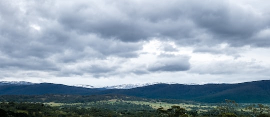
- Jindabyne mountainous landscapes ...click to read more
- Experienced by @Tarryn Myburgh | ©Unsplash
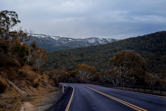
- Open roads to Thredbo mountain ...click to read more
- Experienced by @Tarryn Myburgh | ©Unsplash
Plan your trip in Jindabyne NSW with AI 🤖 🗺
Roadtrips.ai is a AI powered trip planner that you can use to generate a customized trip itinerary for any destination in Australia in just one clickJust write your activities preferences, budget and number of days travelling and our artificial intelligence will do the rest for you
👉 Use the AI Trip Planner
Why should you visit Jindabyne NSW ?
Travel to Jindabyne NSW if you like:
🛣️ Road trip ⛰️ HillWhere to Stay in Jindabyne NSW
Discover the best hotels around Jindabyne NSW, Australia and book your stay today with our booking partner booking.com
More Travel spots to explore around Jindabyne NSW
Click on the pictures to learn more about the places and to get directions
Discover more travel spots to explore around Jindabyne NSW
🛣️ Road trip spots ⛰️ Hill spotsTravel map of Jindabyne NSW
Explore popular touristic places around Jindabyne NSW
Download On Google Maps 🗺️📲